

EVANSTON — The Uinta County Local Emergency Planning Committee (LEPC) held a meeting on Thursday, March 23, to discuss plans to prepare the county for spring flooding. Sgt. Josh Rasnake with the Uinta County Sheriff’s Office opened the meeting, which was attended by a large number of city and county officials, along with members of the public.
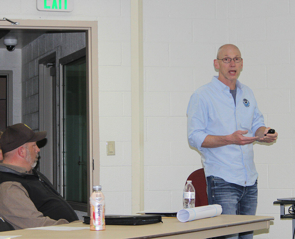
National Weather Service (NWS) Warning Coordination Meteorologist Kevin Barjenbruch presented at the meeting.
“Take a deep breath; it has been a long, tough winter across the region,” Barjenbruch said. “How did we get to where we are? I will be covering median winter temperature and precipitation, the snowpack, runoff and water supply, flood potential and a seven-day forecast. Then we will look at precipitation and temperature forecasts, and end with what hydrologic services and resources you can rely on.”
This item is available in full to subscribers.
To continue reading, you will need to either log in to your subscriber account, or purchase a new subscription.
If you are a current print subscriber, you can set up a free website account and connect your subscription to it by clicking here.
If you are a digital subscriber with an active, online-only subscription then you already have an account here. Just reset your password if you've not yet logged in to your account on this new site.
Otherwise, click here to view your options for subscribing.
Please log in to continue |
EVANSTON — The Uinta County Local Emergency Planning Committee (LEPC) held a meeting on Thursday, March 23, to discuss plans to prepare the county for spring flooding. Sgt. Josh Rasnake with the Uinta County Sheriff’s Office opened the meeting, which was attended by a large number of city and county officials, along with members of the public.
National Weather Service (NWS) Warning Coordination Meteorologist Kevin Barjenbruch presented at the meeting.
“Take a deep breath; it has been a long, tough winter across the region,” Barjenbruch said. “How did we get to where we are? I will be covering median winter temperature and precipitation, the snowpack, runoff and water supply, flood potential and a seven-day forecast. Then we will look at precipitation and temperature forecasts, and end with what hydrologic services and resources you can rely on.”
Barjenbruch used a slide show to present his information, with graphs showing percentages and median rates for the region of Uinta County and the northern part of Utah.
For Uinta County, from October 2022 to February 2023, temperatures have ranged at 2-3 degrees below normal and precipitation at 115-150% above normal. Precipitation in March 2023 has been 200-300% of normal, he said.
As of Thursday, March 23, the snow water equivalent was at 145% of median, with a median peak of 104%. As of that same date, there was 68% precipitation in the Upper Bear.
“You can see we are well below historical values, but we are still above the median for those years,” Barjenbruch said. “We were below the median in 2011 and above the median in 2019 and are now showing a rise.”
Snow water equivalent at Black Smiths Fork, as of March 23, was 133% of median, with a median peak of 104% at 92% percentile. Snow water equivalent in Henry’s Fork-Sheep Creek was 144% of median, with the median peak at 144%, at 97 percentile and at historic highs.
“The snow water equivalent for Uinta County,” Barjenbruch said, “amounts to 10 to 16 inches of water in the Uintas with some areas even higher, up to 30 inches. The water supply forecast on March 1 for the April through July volume is 110-130% of average. Currently, the Bear is at 115%, and Weber is 130%. The forecast streamflow volumes are in a percent of 1991 to 2020 averages.”
Flood potential, Barjenbruch said, depends on a variety of factors. We know we have an above average snowpack and unknown weather temperatures to come. A large factor to flooding is whether there is a rapid warmup, which would create a fast melt with runoff. If there is intermittent warming that creates a slow melt and builds up moisture in the soil, the possibility of flooding decreases.
The short-term concern is “sheet” flooding, he said, especially in the lower elevations with a lot of snowpack in the lower valleys and when there is rain on snow.
“The seven-day forecast shows the weather risk for the next seven days,” Barjenbruch said. “For northern Utah and Uinta County there will be moderate snow and minor snow in the mountains. The temperature outlook for the next eight to 14 days shows temperatures at a 60-70% chance at being below normal. The next eight to 14 days for the precipitation outlook is near normal. We don’t see a significant warmup in the next two weeks that would lead to potential flooding issue.”
Barjenbruch pointed out the outlook for the months of April, May and June showed a 33-40% chance that temperatures would be around normal and the precipitation outlook for the same months would be at an equal chance of being normal.
Uinta County Fire Department Chief Administrator Eric Quinney asked Barjenbruch, “What kind of advisories should we put out for recreation areas to protect people?”
To check for weather forecasts and potential hazards, Barjenbruch said to call the National Weather Service at 801-524-4377 or 801-524-4378, or check social media for posts.
Barjenbruch said hydrologic services would continue to have partner meetings with LEPC and would also provide updates on social media. In case of an emergency, deployment-ready personnel would be available. The primary contact person is Glen Merrill, senior service hydrologist at the Salt Lake City Weather Forecast Office, at 435-671-9759.
“It is important that LEPC designate a facility where people can stay if they are evacuated in the event of a flood,” Barjenbruch said. “The last slide shows a list of resources available to you and you can also get them on our website (http://weather.gov/saltlakecity).
There was some discussion among the group as to what would happen if flooding does occur in Uinta County. Barjenbruch presented slides of maps showing potential flood sites and led a discussion on preparedness. He said the high level of snowpack in the valleys and residential areas added to the potential for flooding in sites not designated on the flood maps.
Rasnake said, “The county has made sandbags available in Evanston and in the Valley. The bags and sand are located at the fairgrounds here in Evanston and you just need to bring a shovel to fill the bag. If there is anyone that is unable to fill their own sandbag, they can call county road and bridge or me and we will see they get a sandbag. We’ve talked to church groups [about] possibly using inmates at the jail to help fill sandbags. We are working closely with county road and bridge in preparing for any flooding.”


